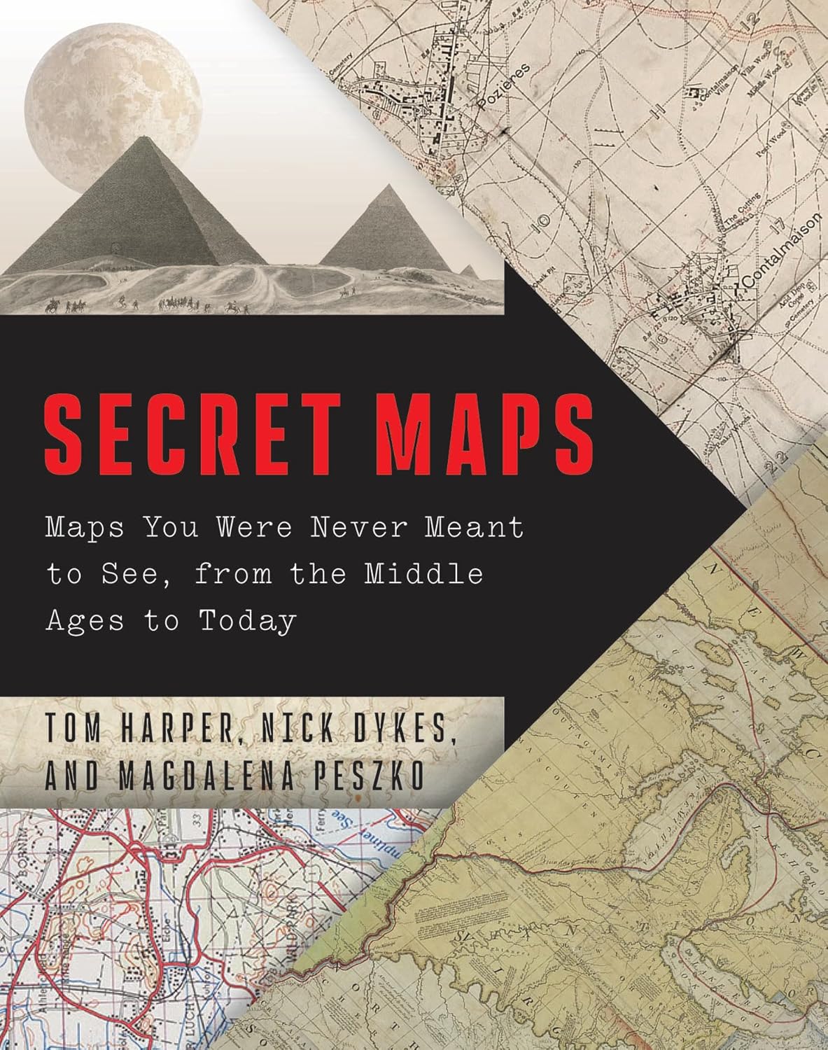
Secret Maps: Maps You Were Never Meant to See, from the Middle Ages to Today
- By Tom Harper, Nick Dykes, and Magdalena Peszko
- University of Chicago Press
- 256 pp.
- Reviewed by Tom Peebles
- November 20, 2025
A fascinating assemblage of sites (intentionally) obscured.
Any cartographer will tell you that even the most conventional maps are likely to contain errors. But that’s not the concern of professional cartographers Tom Harper, Nick Dykes, and Magdalena Peszko in Secret Maps: Maps You Were Never Meant to See, from the Middle Ages to Today. With much gusto, the trio describes situations where maps are used to safeguard secrets. Map secrets, they write, are “first and foremost ‘where’ secrets: that is, secrets that are place specific.”
For the authors, place-specific secrets represent a powerful combination of the “intrigue, excitement and danger” that drive human fascination with secrecy generally and the “peculiar thrill that maps give us of revealing and thereby possessing the world in miniature.” The subjects of map secrecy have included “routes, distances, physical and political entities, locations of raw materials, industrial sites, fortifications and defenses, installations and infrastructure, coastlines and harbors, persons situated in, and happenings occurring in places.” But whatever their form and purpose, “maps always must be useful,” the authors emphasize, “even if it means compromising the integrity of their secret.”
Harper, Dykes, and Peszko are specialists in the cartographic section of the esteemed British Library, the United Kingdom’s national library. They obviously know the technical side of map-making, but they also bring infectious enthusiasm and deep historical insight to their task of explaining how secrecy has affected the making of maps at a wide range of locations across the globe.
Their book is organized around a series of over 50 vignettes, each a short story about how a particular map and the subterfuge around it figure into some larger slice of history. The vignettes aren’t arranged chronologically, but the authors date the use of map secrecy to what they term the “early modern period,” roughly the beginning of the 16th century. Almost all the vignettes end with the initials of one of the three authors, presumably to indicate that section’s primary “guide.”
The vignettes are enriched by the high quality of the book’s illustrations. The maps that serve as the focal points for each are remarkably well-reproduced, with brilliant colors. Readers can easily imagine themselves on a tour of the British Library, moving from room to room with Harper, Dykes, or Peszko serving as their well-informed docent.
The tour starts with examples of 16th- and 17th-century Spanish, Portuguese, Dutch, English, and French authorities using map secrecy as a tool for early imperial and commercial expansion outside Europe and for defining, protecting, and expanding their own national borders. State-mandated cartographic secrecy is “as old as the nation state itself,” one of the authors’ sources observes. European powers competed to protect their own geographical and navigational information from their rivals while obtaining similar information that those rivals held. All utilized spies and informants, who transmitted “stolen, appropriated and clandestinely produced maps, and maps associated with the fruits of espionage.” In 1457, John Hardyng, an English spy in the Scottish court, gathered documents and topographical data for a map supporting a potential English invasion of Scotland.
The Spanish and Portuguese empires exercised particularly tight controls over the navigational knowledge contained in their maps. Both limited access to a select few and excluded foreigners, with the hope of gaining advantages over their imperial competitors in establishing and maintaining sea routes for trade of materials such as spices and silver. But leaks were endemic. A confidential book of charts of the Portuguese empire in Africa and Asia, the Livro do estado da India oriental, for example, dating from around 1646, fell into English hands via the dowry of Catherine of Braganza, who married King Charles II in 1661.
Almost miraculously, there were no leaks in the cartographic planning for Operation Overlord, the 1944 D-Day invasion of the Normandy coast during World War II. Beginning in late 1942, operational and planning maps were printed in limited numbers and stored in sealed packages inside highly restricted warehouses along the south coast of England. Copies were not unsealed until the eve of the invasion, except for the handful that senior commanders viewed in advance.
The authors highlight the tension throughout Overlord’s planning process between the twin necessities of maintaining secrecy and disseminating critical information. Allied troops preparing for the invasion were briefed and trained using maps with false place names. This allowed soldiers to become familiar with the terrain without knowing its true location, making the places harder to identify if the maps fell into enemy hands. Over 1,250 tons of British and American maps were transported to Normandy to support the invasion. When unsealed, the maps were, as the authors put it, at the heart of the “best-kept secret in military history.”
Maps that leave out, exaggerate, or minimize information constitute the broadest category of map secrecy. “In such cases, the very absence of information on a map has meaning.” Transatlantic slave-trade routes, for instance, “were laid out openly in maps and views” but, the authors continue:
“presented in a deliberately neutral style…Such representations contributed to the sanitization of the slave trade by depicting elements like forts and trading factories in ways that obscured their real function…[and] concealed the reality of overcrowding, disease and brutal treatment endured by those held captive.”
Similarly, in the 1980s, tourist maps of Rio de Janeiro showed little or nothing of the heavily populated, poor favelas, and apartheid-era road atlases of South Africa did not depict Black townships.
Plagiarism, generally for financial profit, is another recurring motive for map secrecy, “perhaps the most secretive trick in map production,” the authors indicate. In 2010, cartographic detective work strongly suggested the British Library’s circa-1680 atlas from renowned 17th-century Amsterdam mapmaker Frederik de Wit was a forgery. The library’s version lacked the graceful engraving of de Wit’s decorative script and contained other barely visible discrepancies. That map, the cartographic detectives concluded, was likely the work of John Overton, an English mapmaker who couldn’t compete on even terms with de Wit. Overton, the authors write, “probably decided to have de Wit’s maps copied as faithfully as possible: the outlines and shading, coastlines, decoration, placenames and text, topped off with de Wit’s signature.”
In the latter portions of the book, Harper, Dykes, and Peszko delve into the notion of privacy, the other side of the secrecy coin: maps that reveal information their holders would prefer to keep literally “off the map.” (This phenomenon arose well before Google Maps.) Maps were used as tools of state surveillance — the attempted penetration of one’s private space — in early modern Europe. Elizabeth I’s minister Lord Burghley used county maps of England and Wales in the 1570s to monitor potentially troublesome Catholic families. Today, large-scale satellite mapping, freely available, covers much of the world, while Global Positioning Systems (GPS) track, analyze, predict, and influence individuals’ locations and movements, creating immense quantities of personalized locational data. A 2022 headline in a British newspaper stated the obvious:
“Your iPhone keeps a secret map of everywhere you go.”
Secret Maps would make an ideal coffee-table book for its illustrations alone. But the text should be read, too. The work’s three guides have remarkable stories to tell.
Tom Peebles is a retired U.S. Department of Justice attorney living in Paris.